River Mangfall
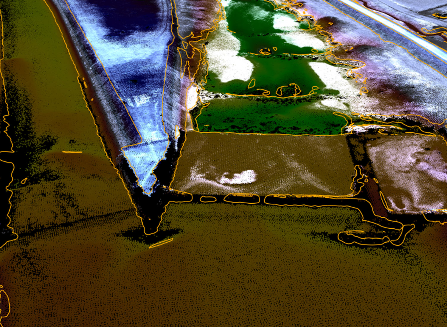
In March 2014, a topobathymetric lidar survey along a 25km long section of the Mangfall river at Rosenheim in southern Bavaria was conducted to provide the base for a new hydraulic model to be implemented for the WWA Rosenheim. The initial raw data processing on strip adjustment and georeferencing the lidar point cloud was followed by point classification for terrain above water, lake ground and water table. After the refraction and runtime correction was applied, the terrain points above and below water were used to set up a new hydraulic mesh of the river section including the extraction of breaklines.
