Ice & Snow Mapping
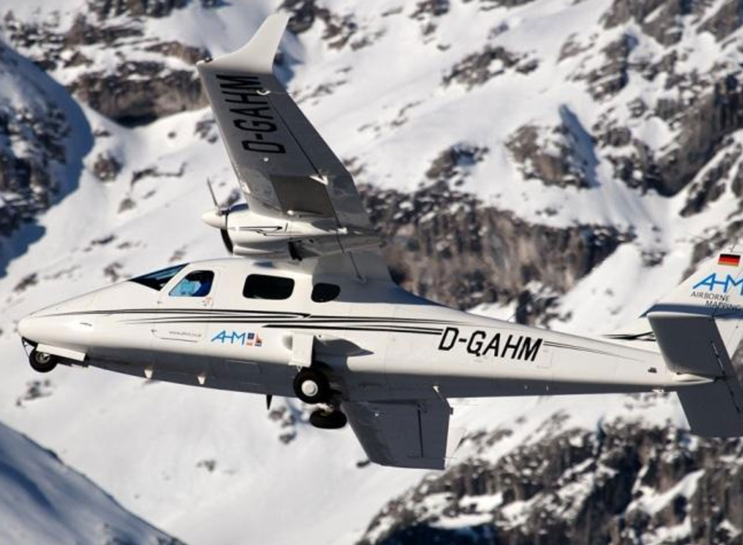
Improved results for glacier-surfaces with new green laser.What is Ice- & Snow Mapping?
The capturing of snow- and glacier surfaces with a common laser scan system results in a poor measurement. This is based on the disadvantageous wave length of the laser light which yields an imprecise location of the measuring surface.
Solution
The solution for this problem is a different wave length of 532 nm (green light). With this wave length abundant reflections of the glacier-surface can be monitored and a much more improved result can be delivered

Solution
The solution for this problem is a different wave length of 532 nm (green light). With this wave length abundant reflections of the glacier-surface can be monitored and a much more improved result can be delivered
